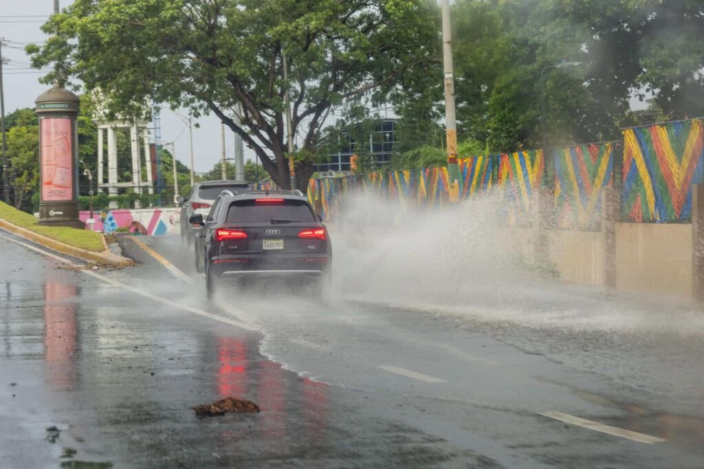
During the early hours of this Thursday, increments clouds caused by a system frontal located to the north of the island, and will continue to cause precipitation, with thunderstorms and isolated gusts of wind over several municipalities and provinces. The Dominican Institute of Meteorology (Indomet) assured in his morning report that the conditions of rains They would gradually spread in the afternoon and even at night in the national territory.
He system frontal and trough will increase precipitation during the next 24 hours and the weekend, mainly in the northwest, north, northeast, the Central Mountain Range, the border area, the southwest and the southeast of the country. Therefore, Indomet maintains the weather alert in 12 provinces: Espaillat, Duarte, Monseñor Nouel, Samaná, El Seibo, Montecristi, La Vega, Puerto Plata, Hato Mayor, Hermana Mirabal, María Trinidad Sánchez and La Altagracia.


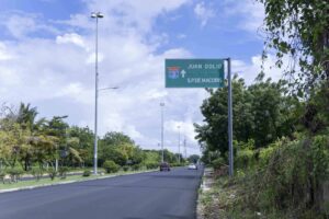
He Indomet warned that the rains will extend in the afternoon hours in areas of the coast coastal caribbean such as La Romana, San Pedro de Macorís, El Gran Santo Domingo, San Cristóbal and Pedernales, among others.
Cyclonic news
The National Hurricane Center warned in its first report of the day of the potential cyclone No.19 which, now converted into a depression tropical, is located 455 kilometers from Guanaja Island, Honduras. This registers maximum sustained winds of 55 km/h, moving towards the west.
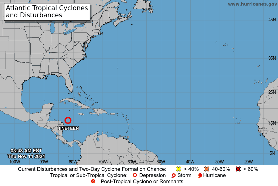
He Indomet assures that, due to its positiondistance and displacement“does not offer direct danger to the Dominican Republic.” The Hurricane Center also states that no tropical cyclones are expected to form in the next 7 days.