Related topics: Bolivar Troncoso Morales, Hector Porcella, IDAC, National Geographic Institute
August 8, 2024
 Leave a comment
The Dominican Institute of Civil Aviation (IDAC) and the National Geographic Institute They agreed to draw up an operational plan to collect geodetic data that will serve as a basis for improving aeronautical charts of the takeoff and landing area, which must be included in the ground networks and in all airports, aerodromes and heliports in the country.
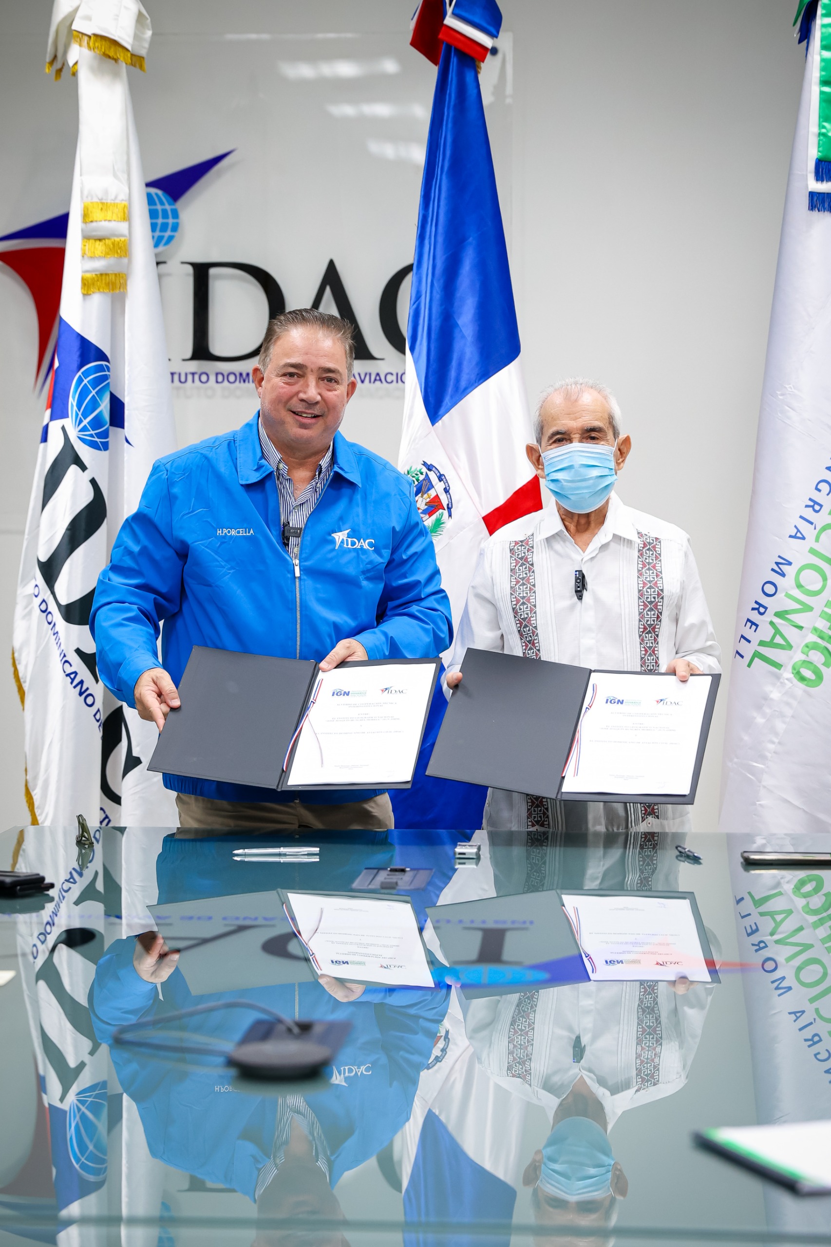 Hector Porcella and Bolivar Troncoso Moralesheads of the two public entities, defined a collaboration protocol to work on the design and updating of the geodetic plates documented by the National Geodetic Survey from the United States in 1997.
Troncoso Morales said that the objective of the agreement is to initiate a reference framework to coordinate within the State, the maintenance of the data of the National Geodetic System and the standardized production of aeronautical visual Flight charts, in order to cooperate in the development and training of the System.
Porcella declared the project to be a commitment of strategic interest for IDAC as part of the programme of actions it has been developing to strengthen operational safety in the aeronautical field.
The agreement provides support to IDAC in the collection of reliable and accurate geospatial information, based on established standards and norms; and provides qualified technical personnel., for the socialization of the issues binding on the parties, as well as those technical aspects related to the Geodetic Service.
Likewise, verify geodetic plates documented by the National Geodetic Survey in all airports, heliports and aerodromes that make up the airport system of the Dominican Republic.
It must also carry out maintenance and occupation visits to the geodetic plates at the request of IDAC to control telluric movements and monitor displacements and contribute through IDAC to the training of its public servants, with a view to having the geospatial data required for adequate planning of the development of the aviation sector.
While IDAC is responsible for cooperating with the Geographic Institute in the logistics for the proper management, production and maintenance of data related to aeronautical visual Flight charts; providing recommendations and knowledge related to the purposes of its counterpart in accordance with international safety and quality standards within the field of aviation, among other responsibilities.